


 |
| Moin,
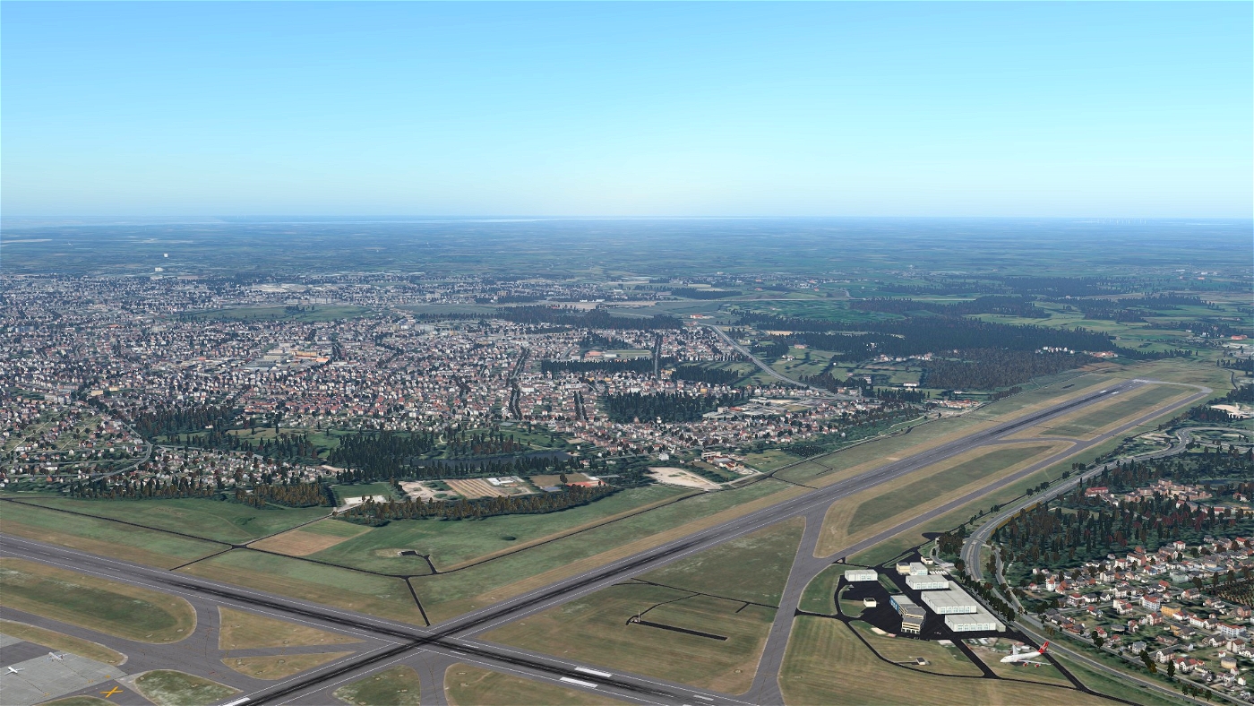
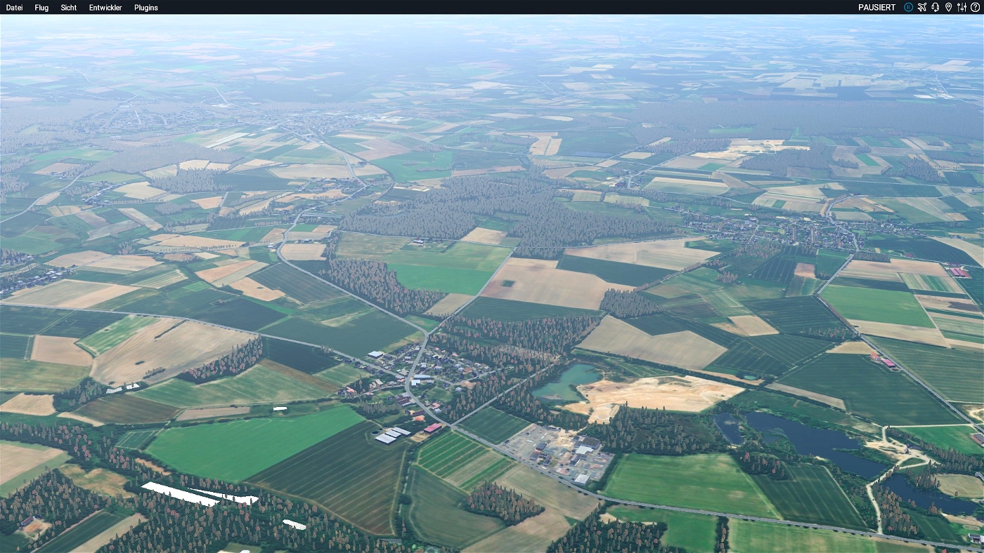
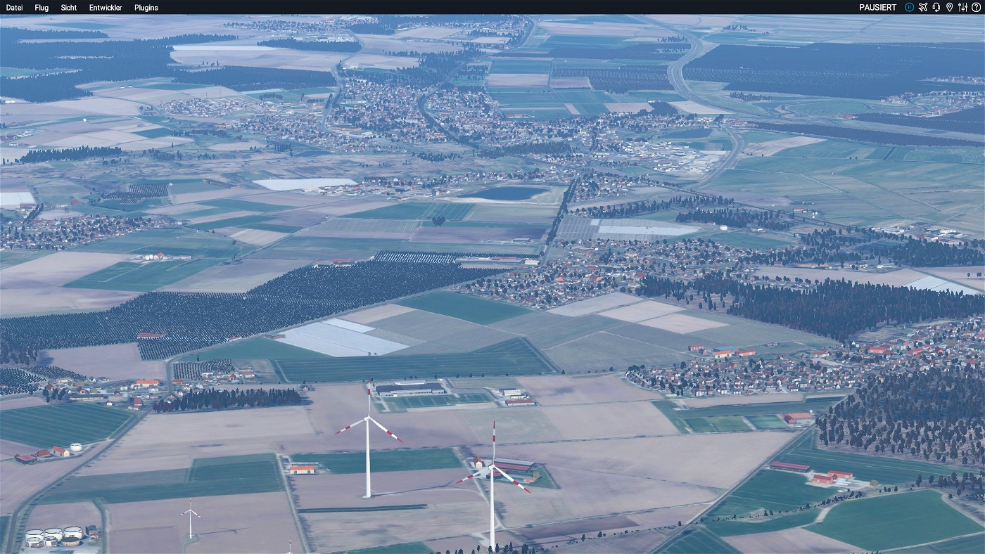
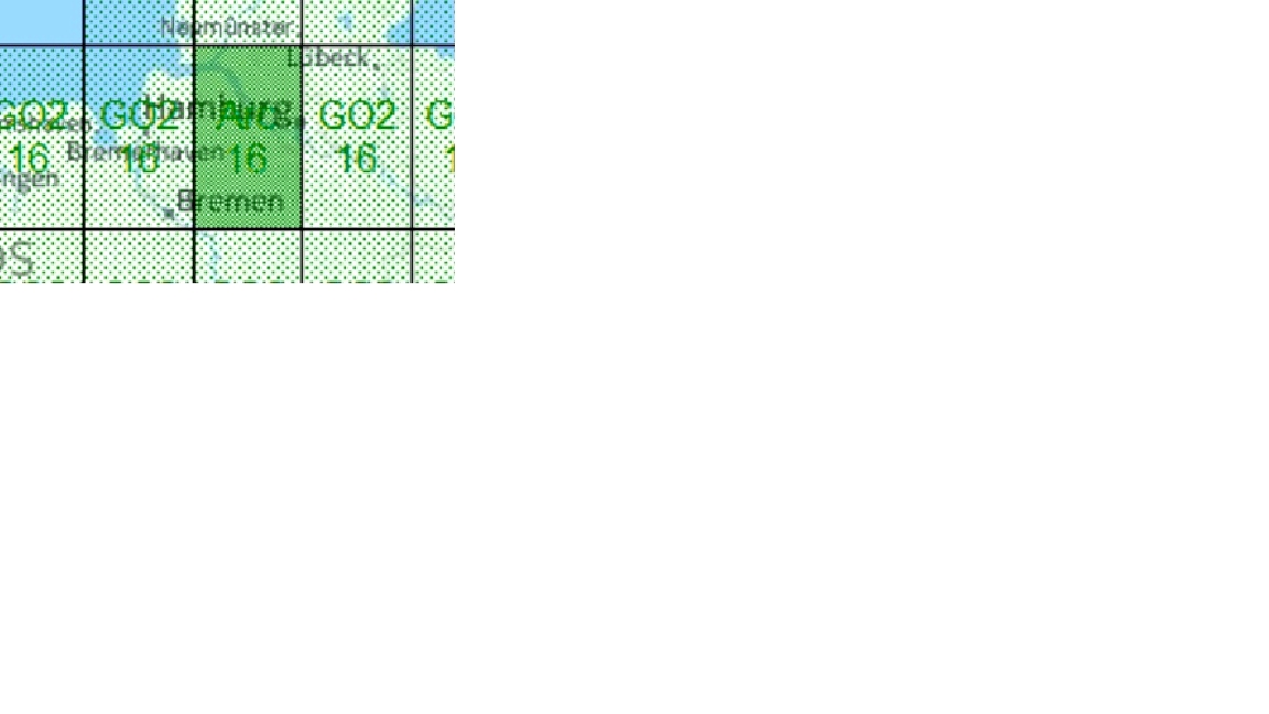
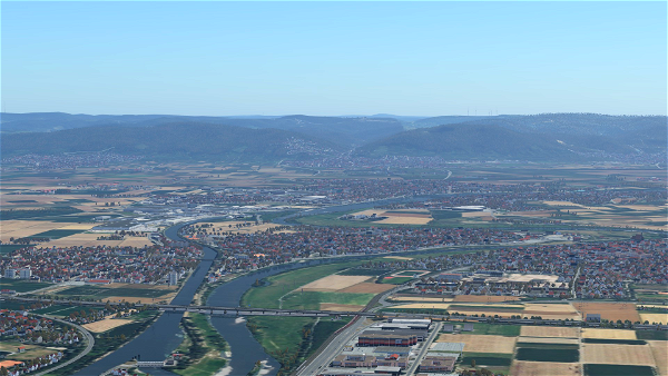
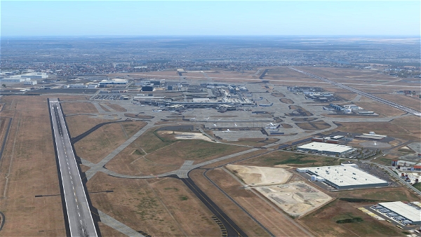
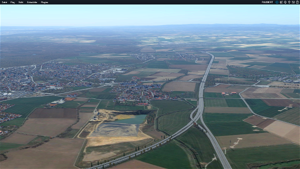
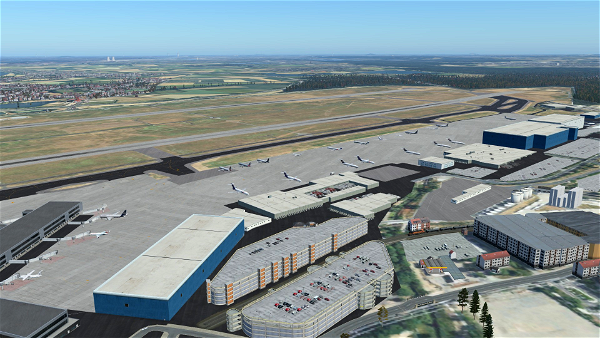
Ich habe mich mal ein wenig mit Ortho4XP beschäftigt um etwas neuere Tapete zu erhalten, ich nutze hier in diesem Fall unterschiedliche Aufnahmen,
was natürlich zu etwaigen farblichen Abweichungen kommen kann. Ich habe ebenfalls unterschiedliche Zoomlevel verwendet, von ZL 16 bis ZL 17 in Flughafennähe ZL 18.
Ich fliege zu 98% nur Airlines,, da genügt mir die Auflösung. Außerdem nimmt es sonst zu viel Platz weg.
Falls interesse daran besteht, ich habe dadurch schon einen großteil von Europa abgedeckt. Sollten bessere Bilddaten vorhanden sein, werden diese ersetzt.
Installation:
Die Datei in das X-Plane Custom Scenery Verzeichnis setzen und in der Scenery.packs auf die richtige Position setzen.
-------------------------------------------------------------------------
Beispiel (Scenery.packs):
Global Airports
Europe X
libraries
zzz_orthophotos (hier gehört die aktiviert hin)
zzz_mesh
--------------------------------------------------------------------------
Achtung: Es sollte nur in Verbindung mit Simheavens X World Europa verwendet werden: https://simheaven.com/xp12-sceneries/
da ich leider noch nicht weiß wie ich die Overlays mit hinzufüge.
Wichtig!!!
Für die Nutzung ohne Simheavens X World Europe, wird diese Overlay Datei benötigt.
https://de.x-plane.to/file/211/orthophoto-overlays-important-for-the-orthophotos
Important!!!
For use without Simheavens X World Europe, this overlay file is required.
https://de.x-plane.to/file/211/orthophoto-overlays-important-for-the-orthophotos
Außerdem ist X-Europe eh ein must have für X-Plane, da er gewaltig aufgewertet wird und es ist freeware.
Ohne schaut man sonst nur auf eine nackte Tapete.
Großen Dank und ein riesen Respekt an den Entwickler.
Ebenfalls geht mein Dank an den Entwicker von dem Ortho4XP tool.
Sollte interesse bestehen werde ich auch gerne weitere Tiles hochladen, ich selber habe Mitteleuropa mittlerweile abgedeckt.
Viel Spaß :-)


Buďte první, kdo přidá komentář.