


 |
| Orthophoto Islamabad West
Islamabad West consists of two files. Download both of them first and then rename them.
zOrtho4XP_+33+072 Islamabad west001001.7z is the master file, rename it to zOrtho4XP_+33+072 Islamabad west.7z.001 . Rename the file zOrtho4XP_+33+072 Islamabad west002.7z to zOrtho4XP_+33+072 Islamabad west.7z.002
The other parts are provided in separate downloads.
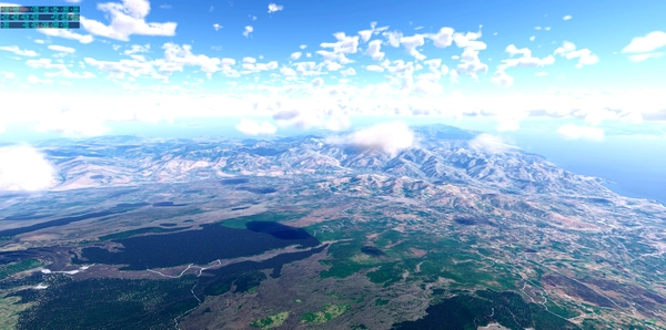
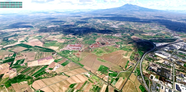
The basic resolution is ZL16 to somehow bring the file to the limit of max. 4 GB. However, around the airports this is higher ZL19/ZL18 and decreases with increasing distance. The approach lanes offer high resolution for a slightly longer time.
I highly recommend using Sim Heaven.
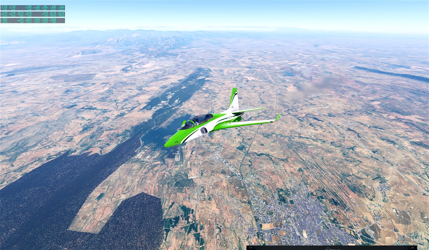
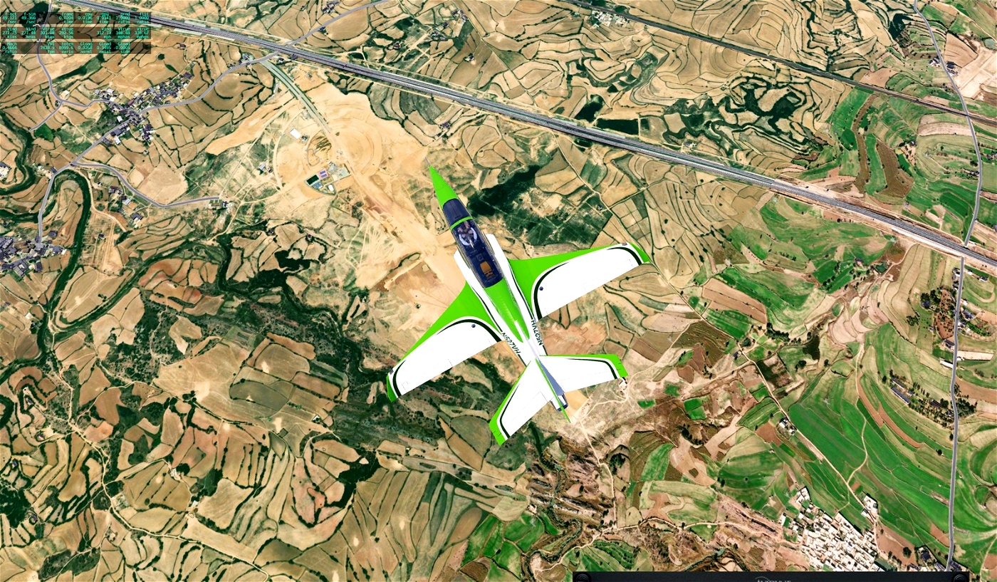
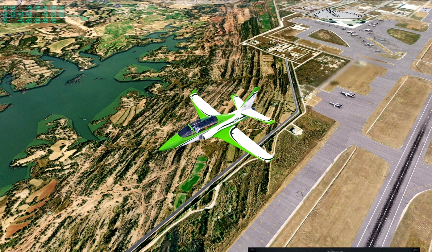
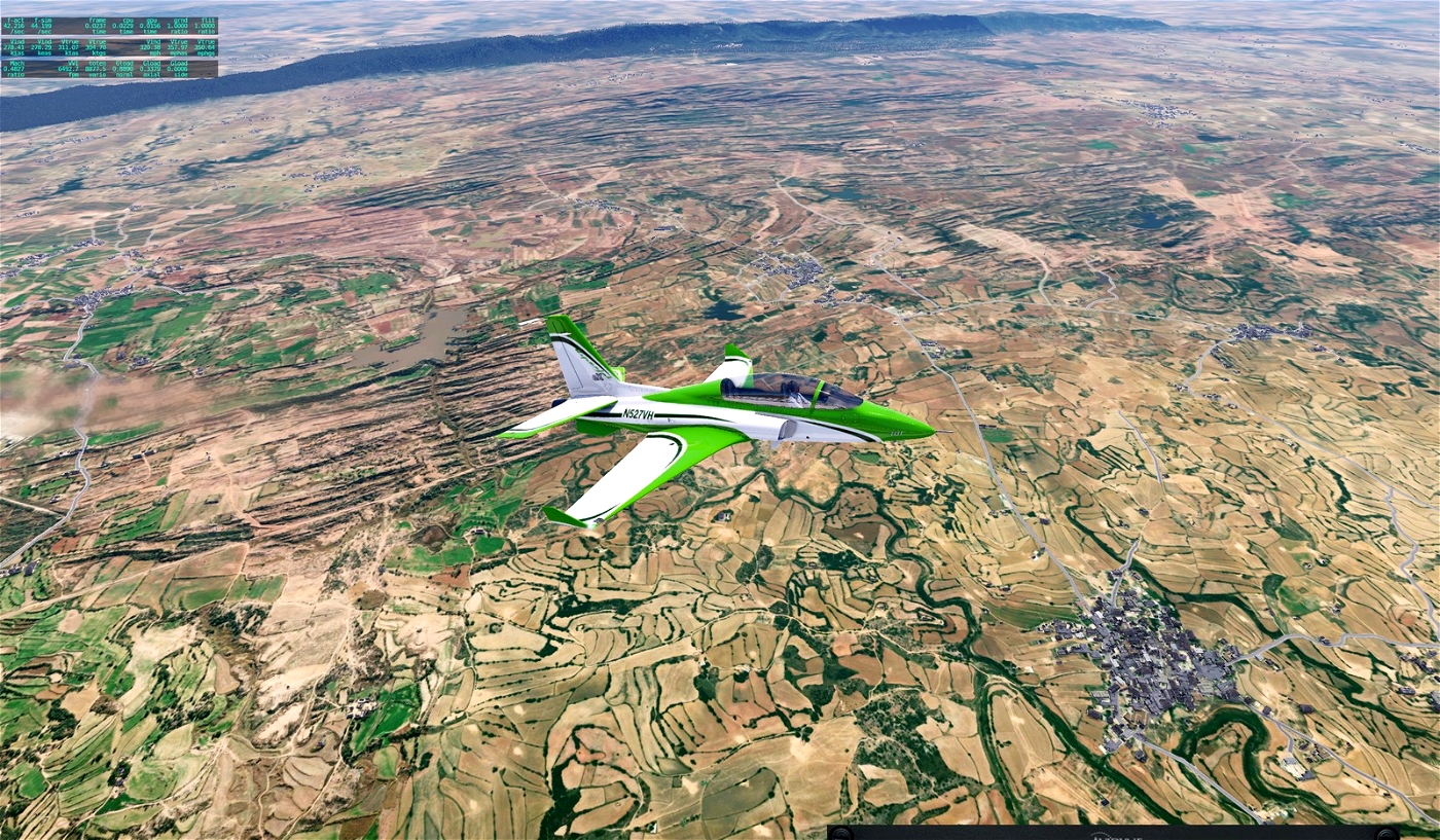
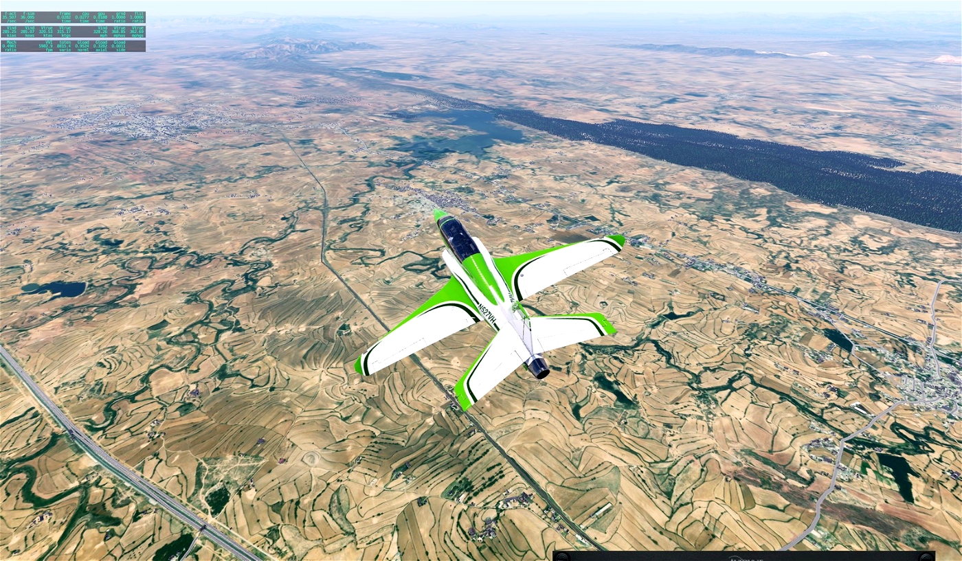
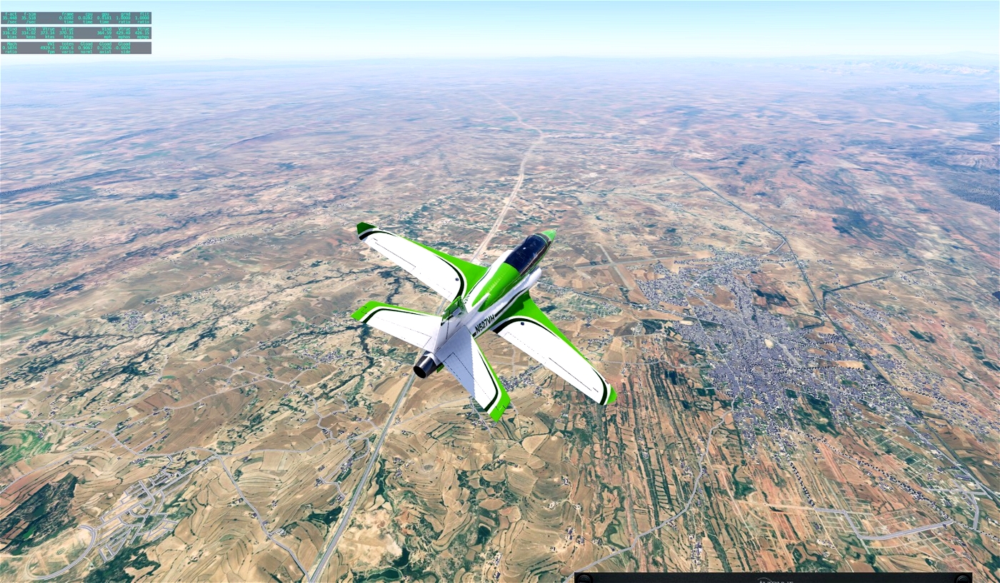
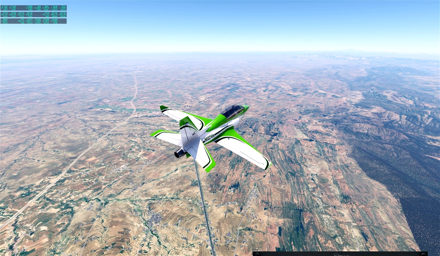
Of course, these files are not only for Umar, who specifically asked for orthos for this region, but for everyone who wants to discover the interesting landscape of Pakistan.
I used Ortho4XP and images from Arcgisonline.
Have fun!
If you make me happy, post a few pictures of your flight over Islamabad.
Gruß Andreas
ISLAMABAD INT'L (OPIS)
ISLAMABAD (114.60 BTR)
GPS N33°34.31' E72°48.34'
Nearby Airports with Instrument Procedures
OPPS Peshawar Int'L/Bacha Khan International Airport
292°
70.8 NM
OPST Sialkot International Airport
127°
98.5 NM
VISR Srinagar Airport
074°
101.0 NM
OPBN Bannu Airport
254°
120.8 NM
OPDI Dera Ismail Khan Airport
225°
138.5 NM
VIAR Sri Guru Ram Dass Jee International Airport
137°
148.8 NM


Umar_Wali34
Great Work.
Andreas1975 11 month(s) ago
Thank you, have fun.